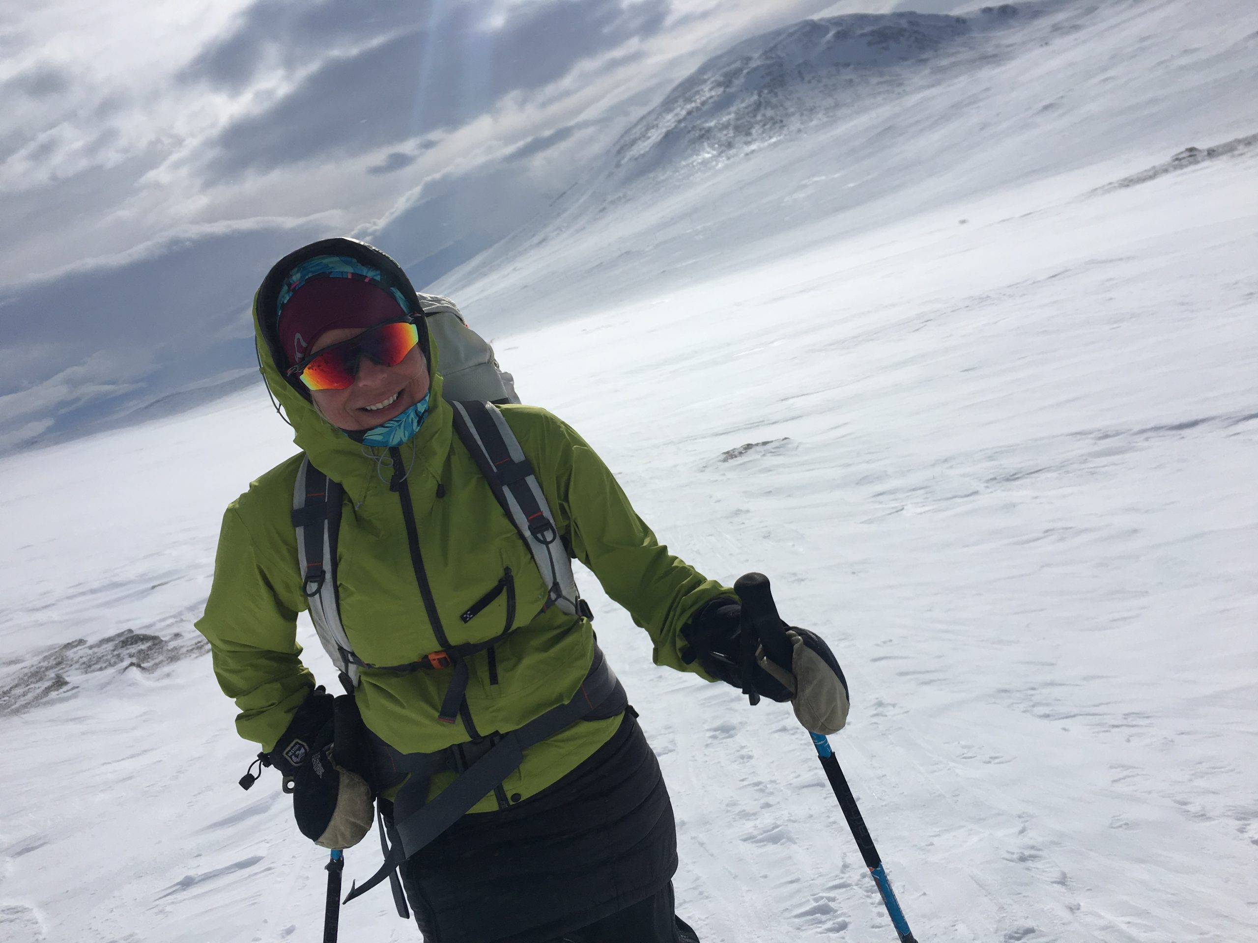
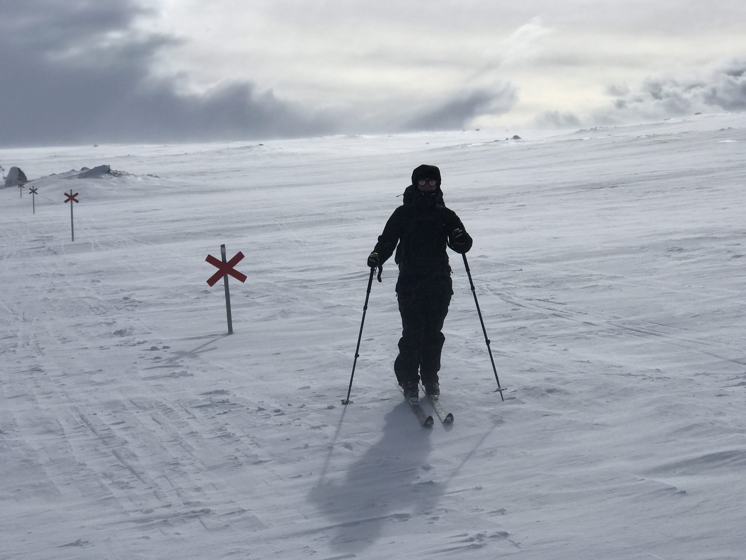
More and more people have discovered the allure of mountain hiking recently. If you haven’t experienced the mountains in winter yet, we can warmly recommend trying cross-country skiing. A wonderful and relaxing way to experience the winter mountains beyond lifts and groomed tracks, which gives a fantastic sense of freedom. As with hiking, you can easily adapt the tour to your own ability. Stay with one of our cozy apartments as a base and take day trips of a suitable length, feel free to visit us and we will advise you on lovely day trips in the local environment.
Around Åreskutan and Mullfjället there are several lovely cross-marked ski trails to enjoy when the spring sun comes. Below we have compiled some suggestions.
No track card is needed in the cross-marked trails. The tours below are not a map but a guide to the various tour areas. If you are going up the mountain, Fjällkartan no. is recommended. Z5I Åre.
DUVED (400 MASL)
The longitudinal tracks start 550 meters northwest of Duved’s center with connecting tracks from the parking lot behind Renen .
FORSA FÄBODAR-ULLÅDALEN
Length: 12 km Start: Duved (Hamrelia) End: Ullådalen
From the track center Hamrelia arduously uphill to Forsa cabins in mountain birch forest and then Kalfjäll. The wind shelter at Forsaskalet is 470 meters higher than Duved. Further up through the pass, out over the plains and gently downhill to the Ullådalen track center 730 meters above sea level. There are lifts, parking and a café.
The ski bus runs from nearby Rödkullen.
MULLFJALLSTUREN
Length: 14 km Start: Duves cable carEnd: Duved cable car
A mountain tour that starts with a lift ride in Duved’s cable car (track card or lift card required). From the top station north to the top of Mullfjället (with wind protection 1030 m.a.s.l.). Further in a valley depression to the wind shelter of Forsaskalet and west towards Forsa shacks. From there straight south to Duved’s village. Kalfjäll terrain during most of the trip from the top station of the ski lift to Forsa fäbod. Towards Duved it becomes a pleasant downhill through terrain with more and more forest.
DUVED – ULLÅDALEN
Length: 11 km Start: Duved cable carEnd: Ullådalen
A shorter version of Mole mountain around. Calfjäll terrain from the top station of the cable car, past Mullfjället’s top, Forsaskalet’s pass and east across hilly mountain expanses to Ullådalen’s track center. Ski bus leaves from Rödkullen.
ULLÅDALEN (730 M ASl)
Tracks and the trail center are located below the car park at the Ullådal lift, 730 meters above sea level.
LILLÅSTUGAN
Length: 2 km Start: Ullådalen End: Ullådalen
The waffle mill is periodically open during the winter and it’s a popular two-kilometer ride from Ullådalen’s track center. You ski down over Ullån, then further up through mixed forest and sparse pine forests to the red cabin with the good waffles. Same way back.
STENDALEN
Length: 2 km Start: Ullådalen End: Ullådalen
From the Ullådalen parking lot towards Tväråvalvet. At the Stendals lift’s valley station at an altitude of 850 meters, there is a tent hut serving coffee, bread and reindeer sausages in the spring and winter. Right next to it there is a lift and a path further towards the Tväråvalvet.
ÅRESKUTAN ROUND
Length: 26 km Start: Ullådalen End: Åre Björnen (Åre village)
The first part winds in the borderland between forest and mountains, around Västerskutan and down towards Bjelke’s mine. The trip can be cut in half if you go down to Huså from here and choose scooter or tracked transport (more info Gruvbacken in Huså 0647-420 62) back to Tväråvalvet (Ullådalen).
Otherwise, you continue south to the east of Åreskutan’s rugged steep. Then you mainly have downhill runs through mountain birch and spruce forest towards Åre Björnen and then take the ski bus back from there.
ÅRE BJÖRNEN (530 m asl)
The track center at the cross-country tracks just north of the ski lifts in Åre Björnen
FRÖÅ MINE
Length: 4 km Start: Åre Björnen End: Fröå (Åre Björnen)
Through slightly hilly forest land 530-620 meters above sea level. Serving in Bergsstugan by Fröå mine most of the season. Back the same way or turn off onto the 15 kilometer track if you want variation.
THE FÄBOD TOUR
Length: 12 km Start: Åre Björnen End: Fröå (Åre Björnen)
Mostly soft hilly mountain forest terrain (530-740 m above sea level) with wind protection after 10 km if you walk clockwise. Serving in Bergsstugan by Fröå mine (approx. four kilometers from Björnen) most of the season.
ÅRESKUTAN ROUND – COUNTERSWALL
Length: 26 km Start: Åre BjörnenEnd: Ullådalen
From Åre Björnen track center. Varied with spruce forest, sparse mountain birch forest, extensive moors, ravine passages and occasional steeps. Wind protection at Bjelkes Gruva, Skuttjärn and the Ullådalen track center.
ÅRE VILLAGE (400 m above sea level)
Some parts of Åreskutan’s trail system can be reached most easily with the VM8 (chairlift) or the Tottliften (sled lift). Tram pass or lift pass required. From Tottliften’s highest point, you start the tour towards Björnen and Fröå Gruva or walk around Åreskutan. From the VM8, you take tours on the mountain terrace past Rödkullen, Tväråvalvet, Ullådalen, Lillåstugan, Tegefjäll, Mullfjället, Duved, Huså or around Åreskutan.
Accommodation with the best location in Åre
Ski in at Tottliften, VM8an or Åre village, we have apartments for everyone.
Are you a cottage owner and need help?


